Disambiguation
There are two Blue Mountains, and they have almost nothing in common
Type the name into a search engine and you get a million-hectare eucalypt wilderness in New South Wales. This is the other one: a resort town in southern Ontario roughly one thirty-fifth its size, on a cliff one twentieth as old in landform terms and rather older in rock.
They are not related, not named for each other, and not even blue for the same reason — assuming anyone can establish why the Canadian one is blue at all. What they share is a habit of appearing at the top of each other's search results.
Greater Blue Mountains
- Status
- UNESCO World Heritage Area, inscribed 2000 — treaty-level protection under the 1972 World Heritage Convention.
- Scale
- Roughly one million hectares of sandstone plateau and eucalypt forest.
- Why blue
- Widely attributed to light scattering through eucalyptus oil haze.
The Blue Mountains
- Status
- Within the UNESCO Niagara Escarpment World Biosphere Reserve, designated 1990 — a different and much lighter designation. Not World Heritage.
- Scale
- 284.65 km² municipality; the summit stands 450 m above sea level.
- Why blue
- Nobody knows. The bedrock shale here is literally called the Blue Mountain Formation, which may be the whole answer.
A distinction worth keeping straight. A UNESCO Biosphere Reserve is a designation under the Man and the Biosphere programme, launched in 1971. It recognises places where conservation, sustainable development and research are integrated, and it carries no treaty obligation — protection rests entirely on existing national and provincial law. A World Heritage Site is designated under the separate 1972 Convention and binds states parties to protect its Outstanding Universal Value. The Niagara Escarpment has never been inscribed as World Heritage. Tourism copy conflates the two constantly; this page does not.
The landform
Not a mountain, and not a fault — a tropical reef that refused to erode
The Niagara Escarpment is a cuesta: a long, gently tilted slab of rock with one hard edge left standing. Its caprock is dolostone — in this section the Amabel Dolostone — and it sits on top of far softer shale. Water and ice took the shale away and undercut the cap, and the cap stayed. Niagara Falls is the same process happening fast enough to watch.
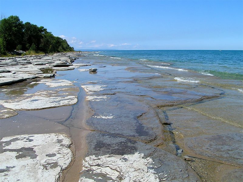
The rock itself formed as carbonate sediment on the floor of a shallow tropical sea, roughly 430 to 450 million years ago, when southern Ontario lay about ten degrees south of the equator and a day was 21 hours long. Magnesium in that seawater gradually swapped itself for calcium, turning limestone into harder dolomite. At Craigleith the shoreline still gives up fossils from that sea.
As a landform, though, the escarpment is young. The cliff-and-cuesta profile you see was cut by glacial and post-glacial processes over the last three million years or so. The land is still moving: freed of its ice sheet, this section is rebounding upward at around 15 centimetres per century.
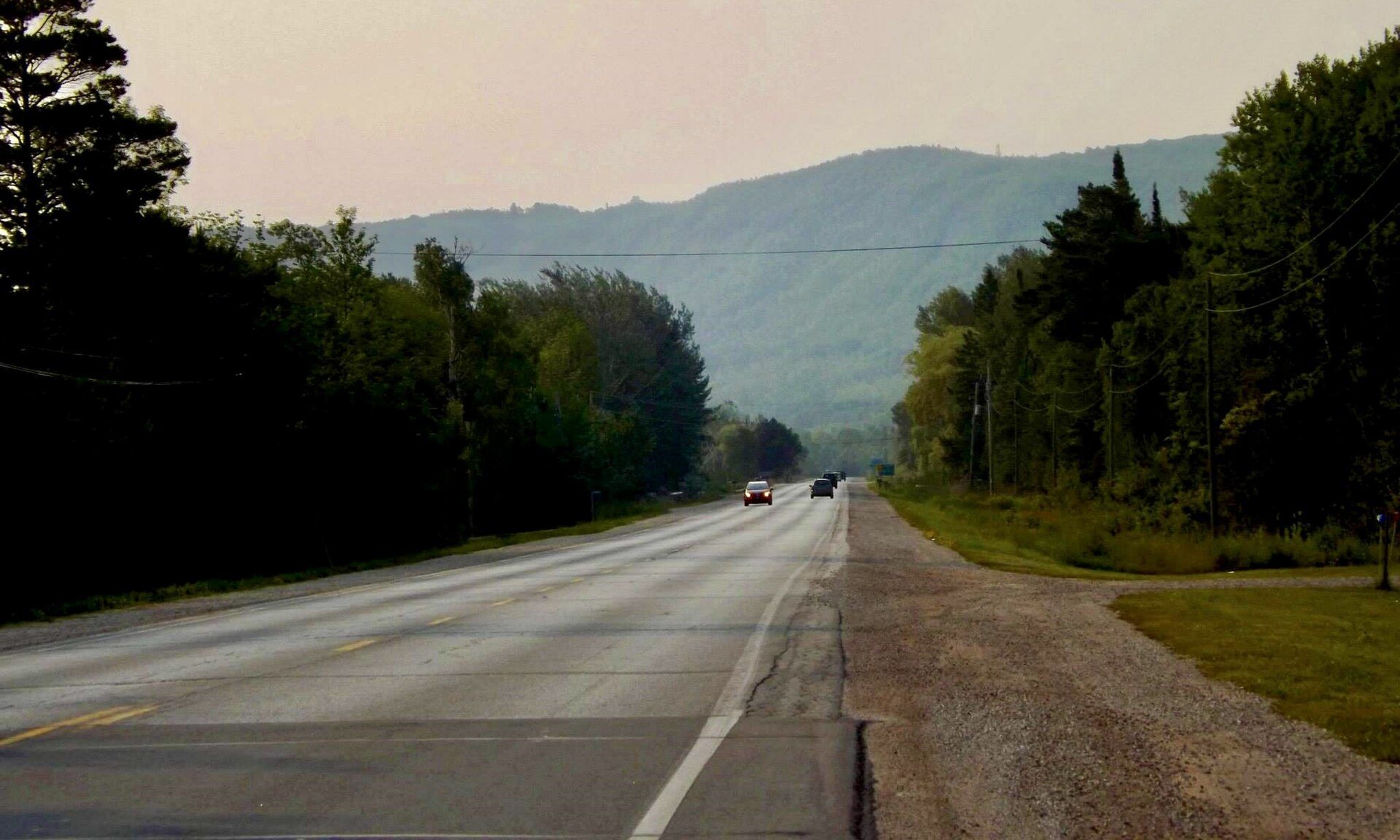
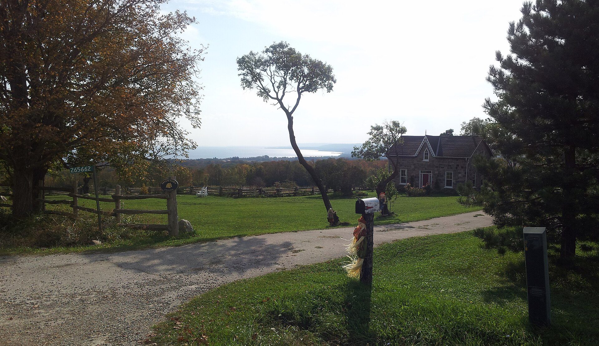
The Blue Mountains stretch of the escarpment stands unusually high because it sits on the Algonquin Arch, a rise in the bedrock between the Allegheny and Michigan basins. From Highway 26 the wall of it is the dominant fact of the landscape — and the reason a ski industry exists in a province otherwise short of vertical.
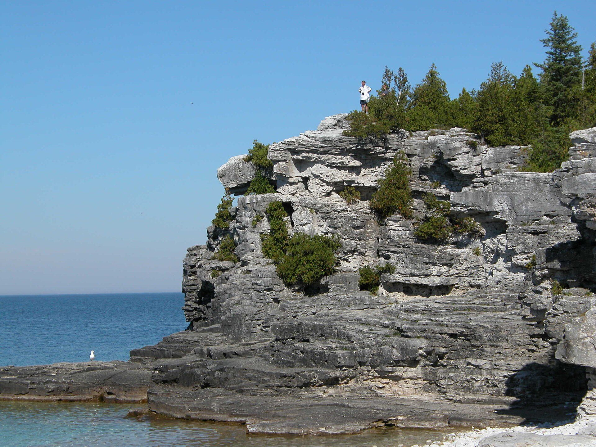
The name is an open question. The earliest known written use of “Blue Mountains” for these hills is in John Jeremiah Bigsby's 1819 travelogue The Shoe and Canoe; the surveyor Charles Rankin used it again in August 1833. Neither says why. The Craigleith Heritage Depot's own curator has noted there is no documentation of the reason — soil colour, the shade of the trees at dusk, and light off the water have all been proposed. The most economical explanation may be geological: the shale member underlying the escarpment face here is formally named the Blue Mountain Formation, and is described in survey reports as a grey and blue shale.
Old growth, vertically
On the cliff faces, the oldest forest in eastern North America
Southern Ontario lost its old growth to the axe and the plough by the early twentieth century. Almost all of it. What survived was growing on a vertical rock wall, where nobody could log it and nothing much could burn.
In the mid-1980s Douglas Larson, a biologist at the University of Guelph, started rappelling down the escarpment to look at lichens. From 1988, with the undergraduate Ceddy Nash and later the dendrochronologist Peter Kelly, he began taking core samples from the eastern white cedars clinging to the cliff faces instead.
Their 1991 paper in the Canadian Journal of Botany reported 872 trees sampled across nine sites, 1,254 cores and cross-sections, and directly dated ages up to 532 years — with estimates running past 800. Later, more selective sampling turned up intact stems of 1,032 years. The oldest living cedar found on the escarpment germinated in AD 688. The oldest dead one had been 1,653 years old when it died, around AD 1082.
One of the oldest, most extensive, and most intact old-growth forest ecosystems yet described for eastern North America. Larson & Kelly, Canadian Journal of Botany, 1991
The trick is that they are not large. On ordinary ground an eastern white cedar lives about ninety years and reaches fifteen metres. On the cliff it does neither. One specimen measured 155 years old and under ten centimetres tall, adding an average of 0.11 grams of wood a year — the slowest growth rate ever recorded for a tree. Rockfall, ice and a near-total absence of soil stunt them without killing them.
They share the rock with hemlock, ferns, mosses, liverworts and lichens, and with endolithic organisms that live inside the stone — the sort of thing more usually catalogued in Antarctic dry valleys.
Duncan Crevice Caves. About 16 km south of Thornbury, the 161-hectare Duncan Escarpment Provincial Nature Reserve protects what Ontario Parks rates as the best crevice caves on the entire escarpment. They formed when huge blocks of dolostone cracked away from the cliff under seasonal temperature swings and slid downslope; some lean back against the main wall, roofing over the gap. The deepest crevices reach 30 metres. Nearby Metcalfe Rock, a split in the caprock above the Kolapore Creek valley, is the region's best-known climbing crag.
Winter
The snowbelt, and the industry it built
Cold air off the Arctic crosses forty kilometres of open, relatively warm Georgian Bay, picks up heat and moisture, and organises itself into snowbands that come ashore in a corridor twenty to forty kilometres wide. Then the escarpment lifts them.
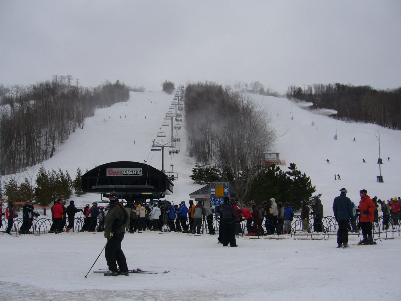
The bay is shallow enough to stay unfrozen well into winter, which keeps the machine running. Communities on or near the escarpment take twenty to forty per cent more snow than flat lakeshore towns half an hour south. Blue Mountain reports an average of 390 centimetres a year on the hill.
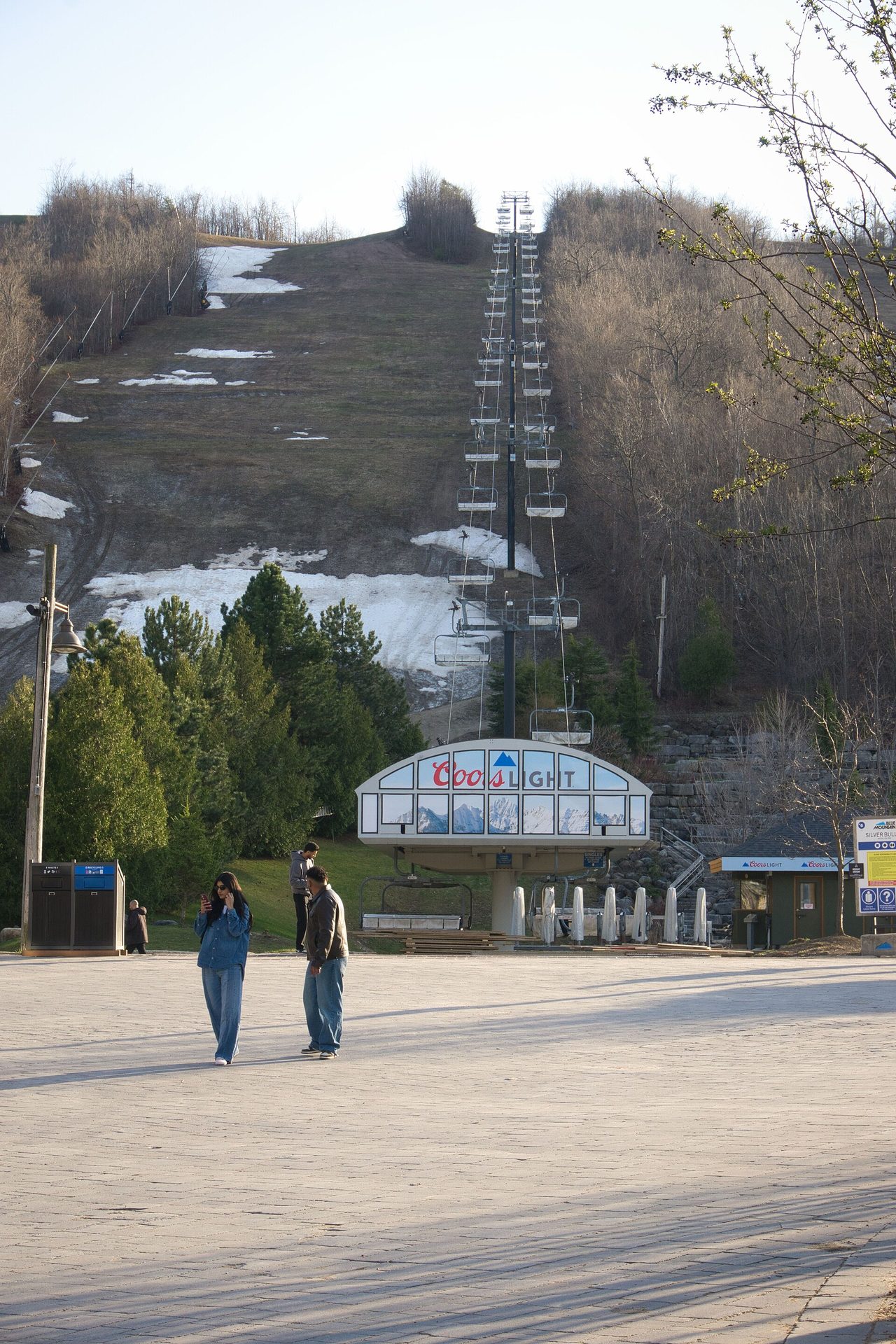
The resort is not the town. Blue Mountain Resorts was incorporated in 1941 by Jozo Weider, a Slovak refugee, with the Toronto ski instructor and senator Gordon Peter Campbell financing it. The municipality called The Blue Mountains was created fifty-seven years later, in 1998, when Thornbury amalgamated with Collingwood Township. The resort is privately operated — Intrawest bought half of it from the Weider family in 1999, and it has been under Alterra Mountain Company since 2018. Media conflate the two constantly. They are separate entities with separate histories, and the company is the older of the pair.
Eight private clubs on one ridge
The stretch of escarpment between Collingwood and Thornbury carries an unusual concentration of member-owned ski clubs. The reasons are historical: viable terrain within driving distance of Toronto was scarce, the Ontario government declined to develop public ski areas in the 1950s and 60s, escarpment farmland was for sale, and the member-equity model turned out to be financially durable.
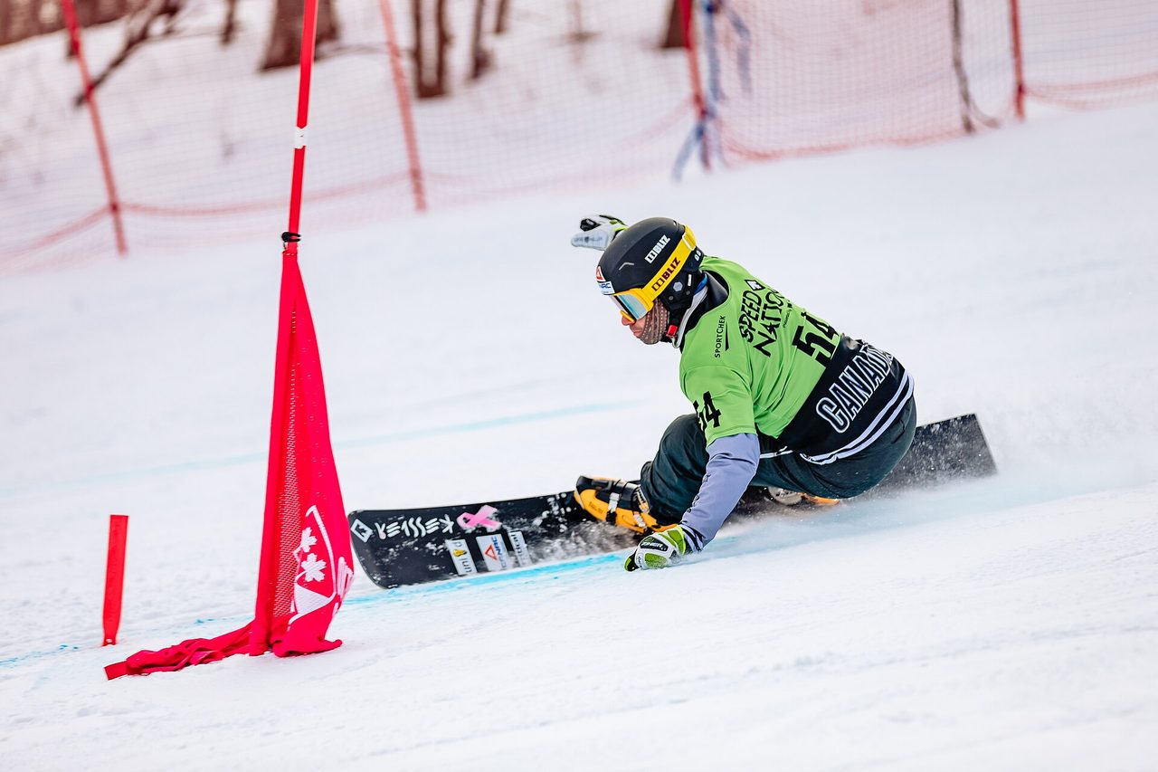
Osler Bluff was incorporated in September 1949 after two skiers, fed up with the lift queues at Mont Tremblant, persuaded thirty people to put in a hundred dollars each for fifty acres of hillside. Craigleith followed in 1958, Georgian Peaks opened on 1 December 1960, and Alpine bought its property the same year. Georgian Peaks has the longest vertical of any private club in Ontario at 251 metres, and Ontario's only FIS-homologated giant slalom run; it hosted the first professional GS race in Canada in February 1961.
The other three seasons
What the hill does when there is no snow on it
The Bruce Trail is Canada's oldest and longest marked footpath, running some 890 kilometres from Queenston to Tobermory along the escarpment, with roughly 400 more kilometres of side trails. Its first committee met in 1960 and it opened officially in 1967 for the Centennial. The Blue Mountains club section covers about 70 kilometres from Lavender to Craigleith; the Beaver Valley section picks up there and runs 120 kilometres more.
The Georgian Trail is flatter and easier: 34 kilometres of crushed limestone from Collingwood to Meaford Harbour, through Thornbury and Craigleith, with about thirty access points. It opened in 1989 on the roadbed of the railway that closed in the 1980s — so the grade is a railway grade, which is to say almost none.
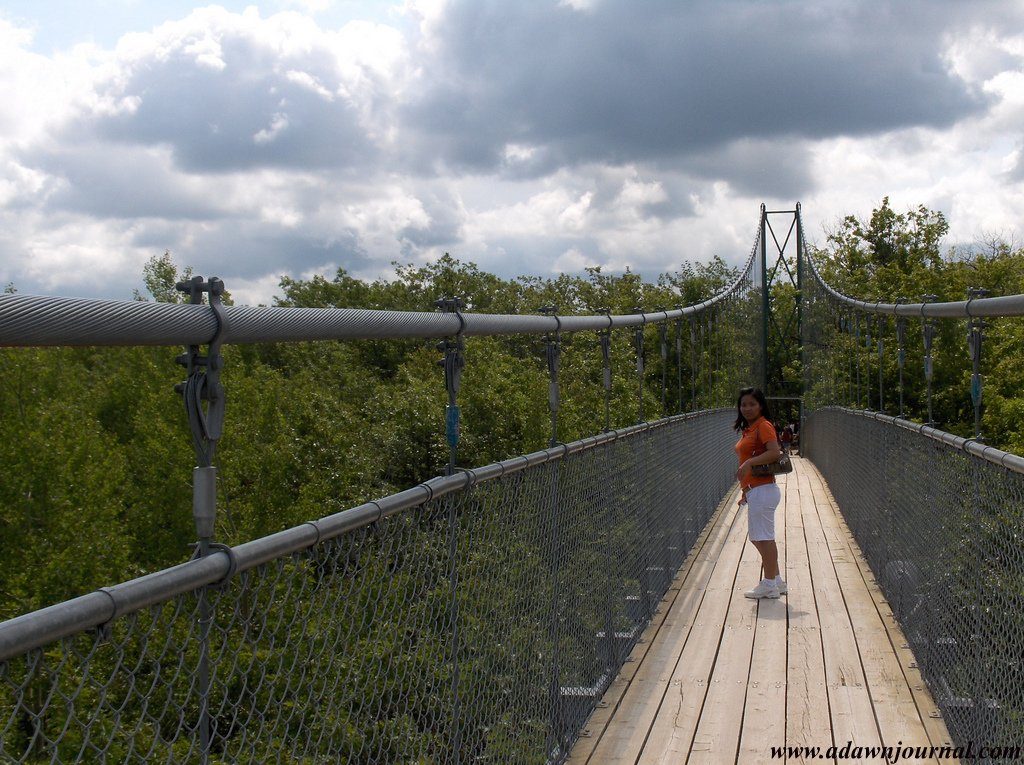
Above the village, the Scenic Caves property has been running guided tours since 1932. Its suspension footbridge opened in 2003, spans 128 metres between towers about 25 metres above the forest floor, and is billed as southern Ontario's longest. Attendance rose 36 per cent the year it opened.
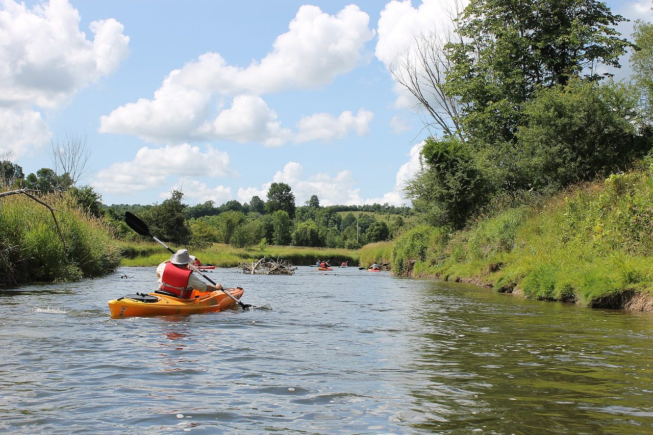
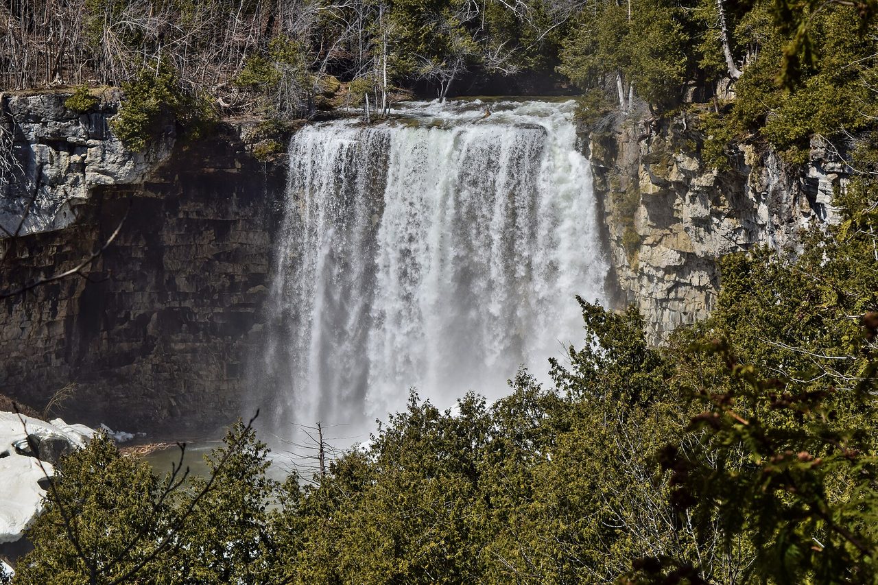
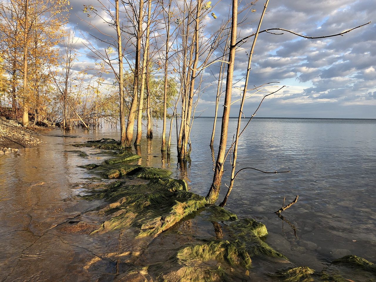
Below, the Beaver River runs down its glacial valley to the bay at Thornbury, a paddling route through orchard country. Craigleith Provincial Park puts a campground on the fossil shoreline. And the escarpment's meltwater still falls off the cap at Eugenia, Hoggs, Indian and Inglis Falls, scattered through the wider Beaver Valley.
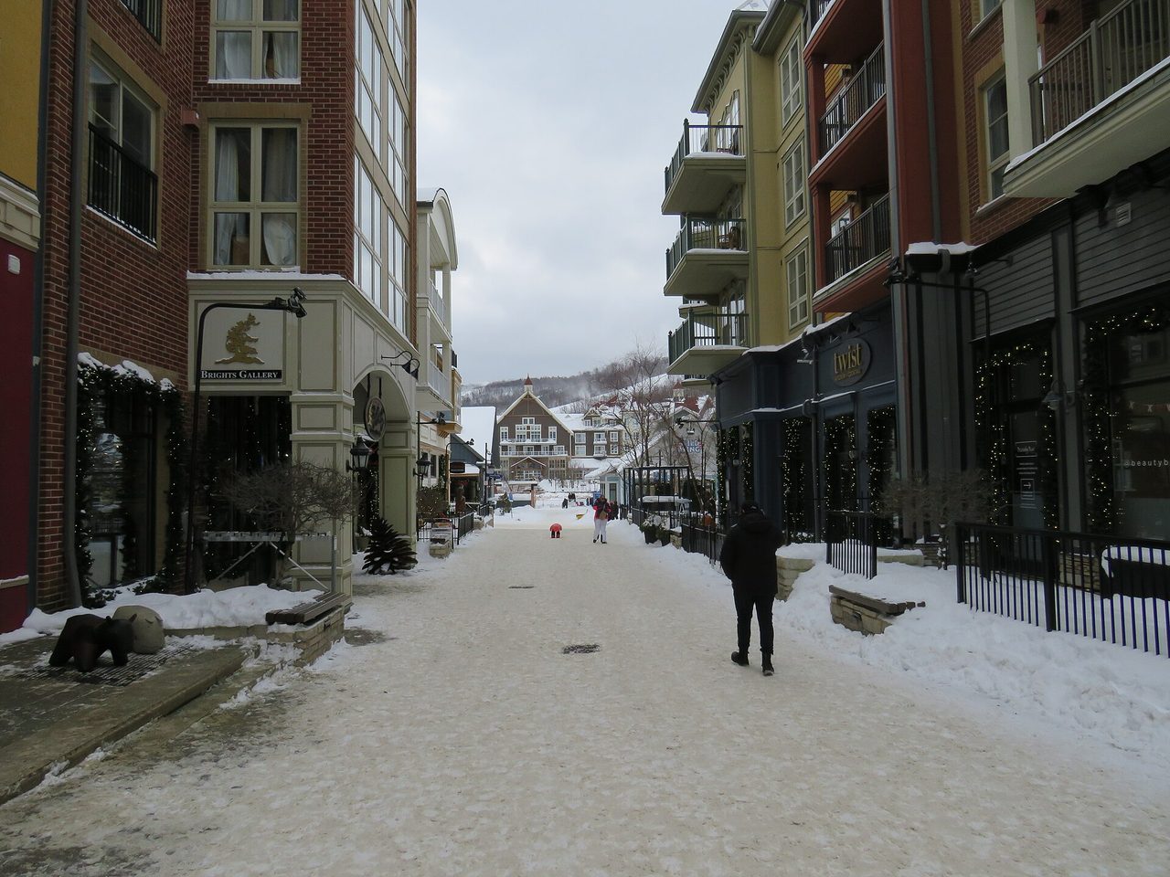
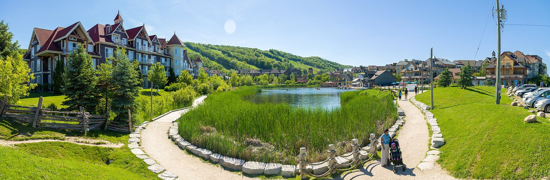
Apples, mills and rail
Thornbury was a working harbour long before it was a weekend
The deputy surveyor Charles Rankin laid out these townships in 1833 and set aside 900 acres at the mouth of the Beaver River for a townsite he never got round to surveying. His assistant William Gifford named it Thornbury, after his home town in Gloucestershire.
In the late 1840s Solomon Olmstead and his brother Rufus built a sawmill on the river, then a store, then a grist mill. A dam and sawmill went up in 1855 to serve flour, woollen and barley mills — the town's first real industry. The mill burned and was rebuilt in 1877; the dam was rebuilt in 1912, making the Mill Pond. The dam still generates power for the town, and the old sawmill building is now a restaurant.
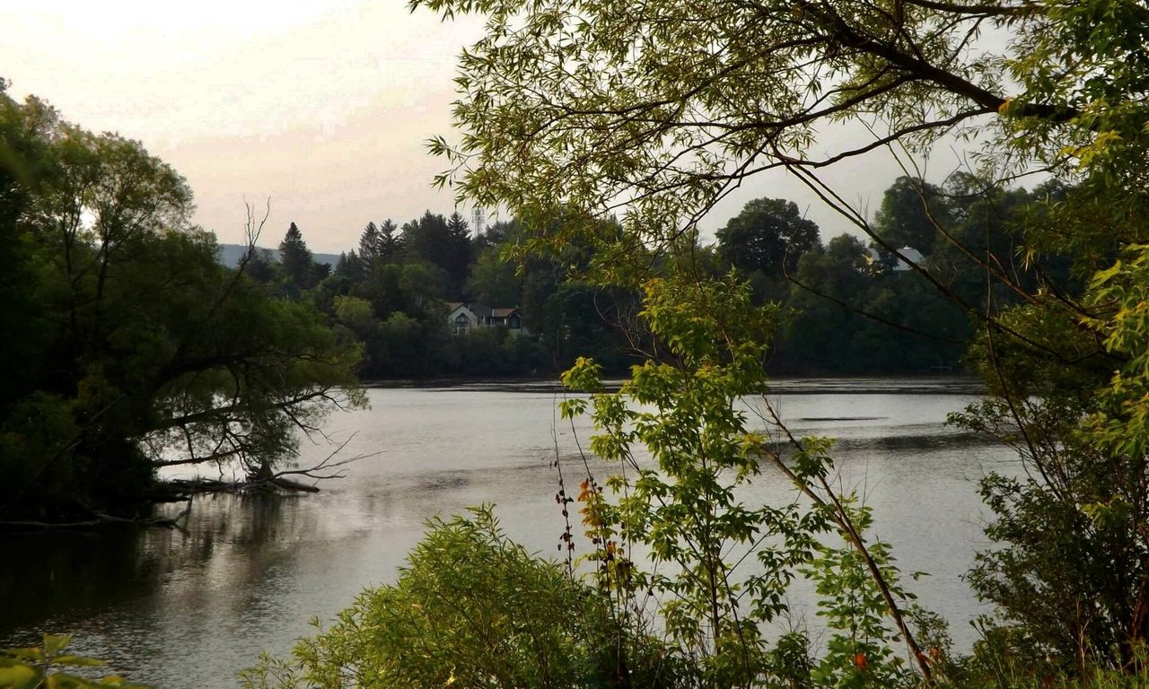
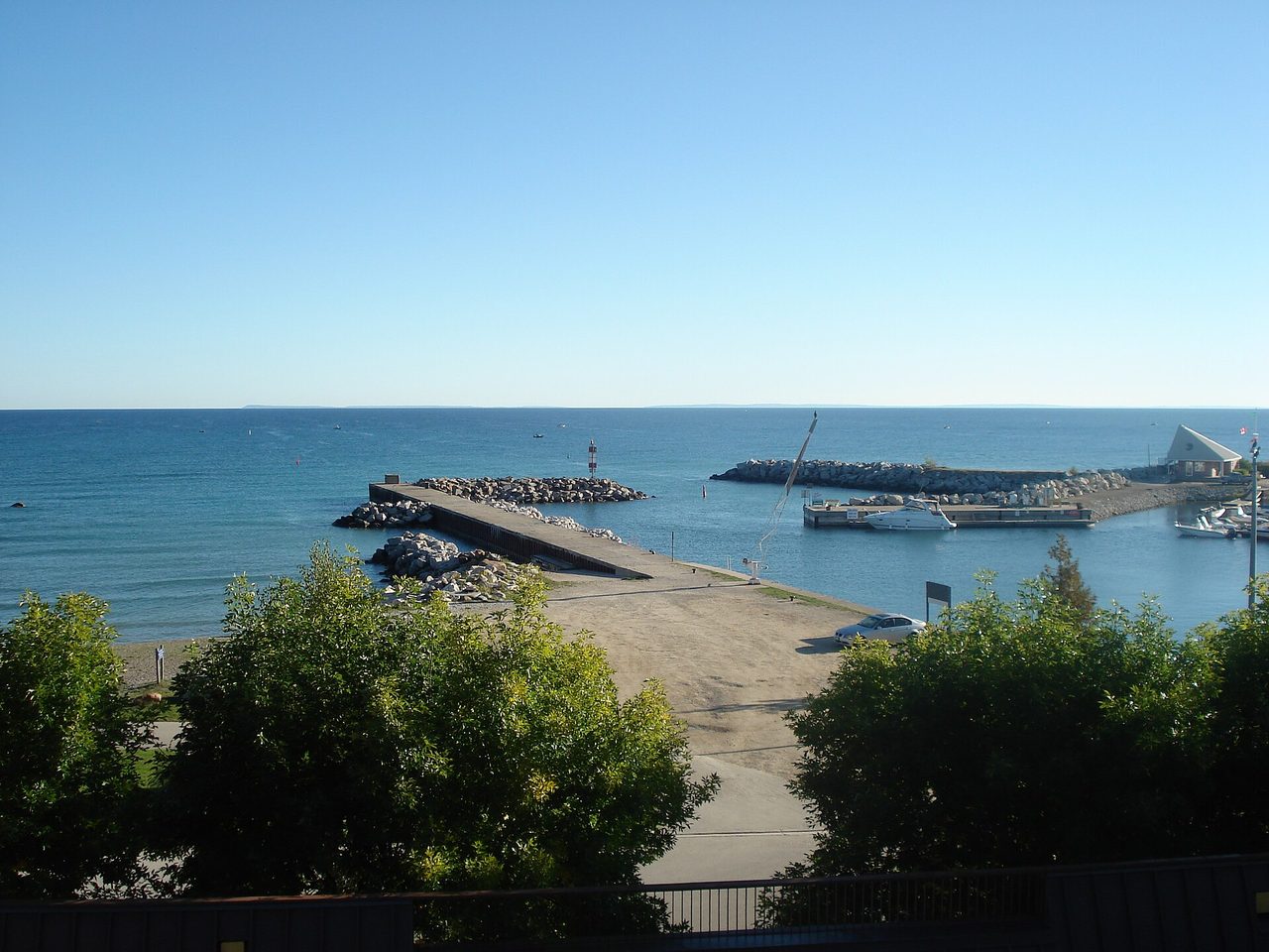
Ontario's most northerly apples
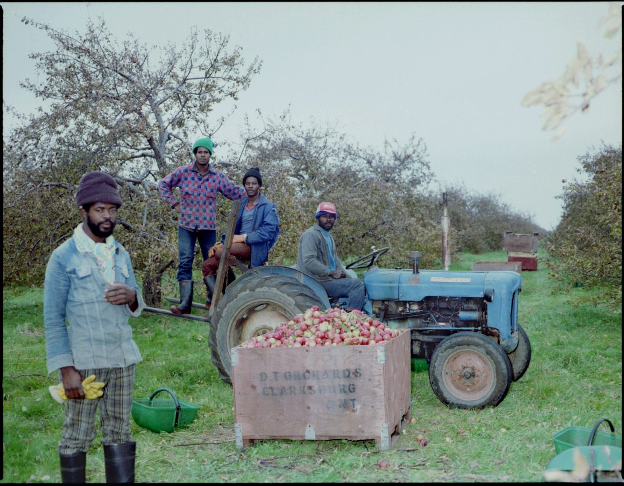
Georgian Bay is a large, deep body of cold water, and large deep bodies of cold water hold spring back. The bay delays the frosts that would otherwise kill blossom at this latitude, which is why the province's most northern apple-growing region sits here rather than somewhere warmer. The Ontario agriculture ministry calls it the Georgian Bay Fruit Growing Region; it produces around a quarter of the province's apples across more than fifteen varieties.
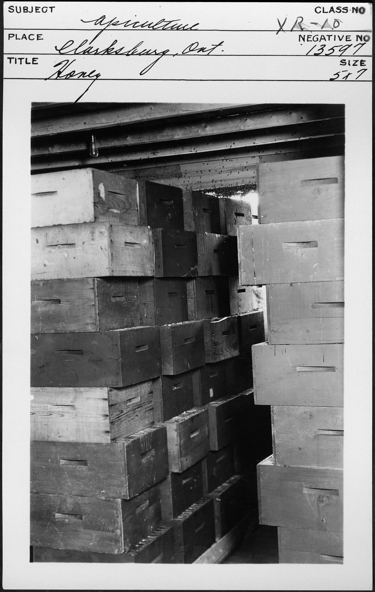
The first planting was in 1846. Andrew Dinsmore started an orchard in 1863 that his descendants still work. By 1896 John Mitchell was growing seven varieties under an experimental-farm contract with the province, and in 1905 he and four others founded the Georgian Bay Fruit Growers Association, which put up a cement apple house and cold store on King Street in Thornbury. In 1919 Paul Haines opened an evaporator in Clarksburg — machinery peeled and cored the fruit and a coke-fired dryer preserved it. The Association added a processing plant on Highway 26 in 1932 for cider, juice, vinegar and applesauce, and wound up in 1965.
The trade did not end, it consolidated. Blue Mountain Fruit Company on Mill Street, founded 1961, now packs from 500 acres of its own and for around twenty other Ontario growers out of an 82,000-square-foot facility. Its owners, a Dutch family who bought in during 2013, hold the exclusive Canadian growing rights to the Red Prince apple.

A hundred and fifty years, abbreviated
-
Rankin surveys the townships
900 acres reserved at the Beaver River mouth. William Gifford names the site Thornbury for his Gloucestershire home town.
-
The dam and sawmill
Built to serve flour, woollen and barley mills. Rebuilt after fire in 1877; the dam rebuilt again in 1912.
-
Oil from stone at Craigleith
William Darley Pollard of Collingwood patents a process for distilling oil out of the local bituminous shale in wood-fired cast-iron retorts. Thirty tonnes of shale a day yield about 950 litres of crude, refined into lamp oil and heavy lubricants. It is the only enterprise of its kind in Ontario's history, and conventional oil strikes at Petrolia and Oil Springs kill it inside four years.
-
Clarksburg gets its name by a tie
A public meeting deadlocks between “Marshville” and “Clarksburg”, after two settlers who had each come to build a mill. Marsh concedes the village name to Clark; Clark concedes the main street to Marsh. The village is Clarksburg and its high street is Marsh Street to this day.
-
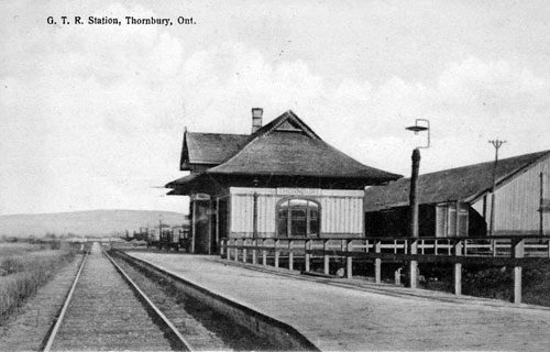
The railway arrives
The Northern Railway's North Grey line reaches Thornbury from Collingwood, and Meaford later the same year. The plan to push on to Owen Sound dies of terrain, money, and the Toronto, Grey and Bruce getting there first in 1873.
-
And departs
Passenger service ends in 1960 and the line — by then the CN Meaford Subdivision — is abandoned in 1985. Craigleith's station survives as the Craigleith Heritage Depot; Thornbury's became a shop.
-
The corridor reopens on foot
The right-of-way becomes the Georgian Trail, 34 kilometres from Collingwood to Meaford.
-
Amalgamation
The Town of Thornbury and the Township of Collingwood become the Town of The Blue Mountains.
-
The tornado
An F2 touches down at 4.40pm and tracks 12 kilometres northeast on a 400-metre front, passing Thornbury, striking Craigleith and going out over the bay. Orchards are wrecked, roofs torn off, and lift houses at Georgian Peaks demolished. It is one of nineteen tornadoes that day — the largest single-day outbreak in Canadian history.
Before all of it
This was Petun country, and the archaeology is extraordinary
The land between the Nottawasaga River and the Blue Mountains has been occupied intermittently since the Ice Age. In the early seventeenth century it held eight or nine villages of an Iroquoian-speaking nation the French nicknamed the Petun — from petún, tobacco — strung along the foot of this escarpment.
They called themselves the Tionontati. The Wendat name for them means roughly “on the other side of the mountain”, which is precisely where they were: the western side of the escarpment, looking out over what is now apple country. Their pre-contact population was perhaps 8,000; epidemic disease had cut it to around 3,000 by 1640.
Champlain came through in 1616. Jesuit contact stayed limited until about 1640, partly because the Wendat of Huronia — a day's travel east — had an interest in keeping themselves between the Tionontati and the French trade. Missions were eventually established at Ehwae, Ekarenniondi and Etharita.
The area of Ontario between the Nottawasaga River and the Blue Mountains, south of Nottawasaga Bay … was occupied historically by the several Iroquoian tribes that were collectively nicknamed ‘Petun’ by the French. Charles Garrad, Ontario Archaeology 89/90, 2010
In the winter of 1649–50 it ended. The Wendat confederacy to the east had already been broken; Attignawantan refugees crossed the frozen Nottawasaga Bay westward into the Tionontati villages. That December, Haudenosaunee forces burned Etharita and its mission. Roughly a thousand Tionontati and Wendat survivors escaped north by canoe and wintered at Mackinac Island, and over the following decades reconstituted themselves as a new nation: the Wyandot. The Tionontati were the majority of it. Their descendants are today in Oklahoma, Michigan and Kansas, and in 1999 reaffirmed their ties with the Huron-Wendat of Wendake, Quebec, as the Wendat Confederacy.
Afterwards the southern Georgian Bay shore became Anishinaabe territory — Ojibwe and Odawa, of the Council of Three Fires. It was Ojibwe bands in possession of the land who surrendered the former Petun country to the Crown on 17 October 1818, under the agreement known as Treaty 18, the Lake Simcoe–Nottawasaga Purchase: about 1,592,000 acres, for £1,200 in goods at Montreal prices, annually, for ever.
Grey County more broadly lies within territory the historian Peter Schmalz describes as Saugeen, and regional bodies name the Saugeen Ojibway Nation — Saugeen First Nation and the Chippewas of Nawash Unceded First Nation — as the Anishinaabe nations whose traditional territory covers Bruce and Grey. Their litigation over Aboriginal title to the Lake Huron and Georgian Bay lakebed is live: the Court of Appeal sent the title question back in 2023 to be reconsidered over a narrower area, upheld a finding that the Crown breached its honour under Treaty 45½, and the Supreme Court declined leave in October 2024. Remedies have not yet been heard.
“The Town recognizes the First Nations, Metis and Inuit peoples of Canada as traditional stewards of the land. The municipality is located within the boundary of Treaty 18 region of 1818, which is the traditional land of the Anishnaabek, Haudenosaunee and Wendat-Wyandot-Wyandotte peoples.”— Land acknowledgement of the Town of The Blue Mountains, quoted verbatim from thebluemountains.ca
On place names. Nottawasaga comes from Ojibwe roots meaning something close to “at the Iroquois river-mouth”, and tradition holds the word was used as a warning when raiding parties were seen coming up the river — well supported, but tradition rather than documented fact. Saugeen is Ojibwe for “mouth of river”. For several other local names — Kolapore, Beaver River, and any Anishinaabe name for Georgian Bay itself — this page found no reliable etymology, so it offers none.
Living here
A small town with a very large weekend
The permanent population is 9,390. It grew 33.7 per cent in the five years to 2021 — from 7,025 — and the town's own planners expect it to pass ten thousand in the 2026 census. The median age is 58.8.
Against that, the resort alone employs around 1,800 people at the winter peak, and a large share of the housing stock is cottages, ski chalets and short-term rentals that sit empty much of the year. Those dwellings do not appear in census owner-household figures, which makes the housing supply look healthier on paper than it is. The town's own housing work identifies the shortage of rental accommodation as a clear gap, and names short-term rentals as part of the pressure.
It is the ordinary arithmetic of a beautiful place within two hours of a large city: the people who work the lifts, the orchards and the restaurants increasingly cannot afford to live beside them.
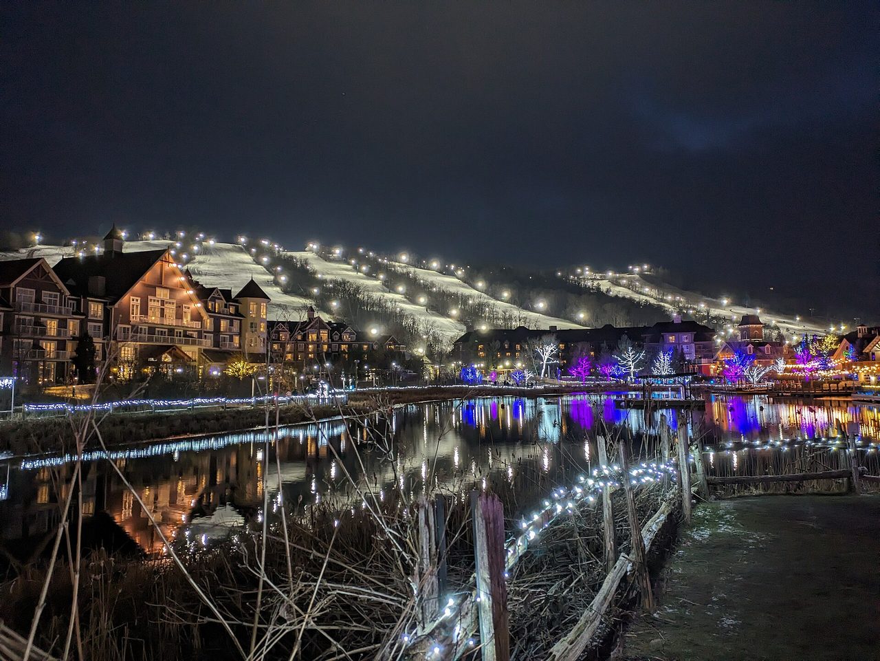
The town is not one settlement but many. Thornbury and Clarksburg sit at the river; the resort communities cluster at the foot of the escarpment; and scattered across the rest are Banks, Camperdown, Christie Beach, Craigleith, Duncan, Gibraltar, Heathcote, Kolapore, Little Germany, Lora Bay, Loree, Ravenna, Red Wing, Slabtown, Swiss Meadows and Victoria Corners.
Sources & credits
Where this came from
Figures on this page are drawn from the sources below. Where sources disagree — the year the railway reached Meaford, the year the line was abandoned, the founding date of Georgian Peaks — the page either states the range or picks the better-attested figure and says so. Where a fact could not be verified, it has been left out rather than guessed at.
- Statistics Canada, 2021 Census of Population — community profile, The Blue Mountains
- Town of The Blue Mountains — thebluemountains.ca, including its land acknowledgement and housing needs work
- Niagara Escarpment Commission — escarpment geology
- UNESCO Man and the Biosphere Programme — Niagara Escarpment Biosphere Reserve
- Niagara Escarpment Plan (1985; current version 2017), Government of Ontario
- Larson & Kelly, “The extent of old-growth Thuja occidentalis on cliffs of the Niagara Escarpment”, Canadian Journal of Botany, 1991 (doi:10.1139/b91-206)
- Ontario Parks — Duncan Escarpment management statement
- Charles Garrad, “Researching the Petun”, Ontario Archaeology 89/90, 2010; and Petun to Wyandot, University of Ottawa Press, 2014
- The Canadian Encyclopedia — Tionontati (Petun), Georgian Bay, Council of Three Fires
- Treaty 18 (Lake Simcoe–Nottawasaga Purchase, 1818), treaty text
- Chippewas of Nawash Unceded First Nation v. Canada (AG), 2023 ONCA 565; SCC leave dismissed, file 40979, 24 October 2024
- Peter S. Schmalz, The History of the Saugeen Indians, Ontario Historical Society, 1977
- Ontario Heritage Trust and Ontario Geological Survey records on the Craigleith oil shale works
- Grey Roots Museum & Archives — Grey County historical timeline
- Bruce Trail Conservancy — trail sections and distances
- Environment Canada storm reporting on the 20 August 2009 Southern Ontario tornado outbreak
- OMAFRA / Niagara Escarpment Views on the Georgian Bay Fruit Growing Region
- Wikipedia — The Blue Mountains, Ontario, Blue Mountain (ski resort), Georgian Trail, North Grey Railway
Images
Every photograph on this page is used under a free licence — Creative Commons, CC0, public domain, or the Open Government Licence – Ontario. Titles link to the file page on Wikimedia Commons, where the full licence terms live.